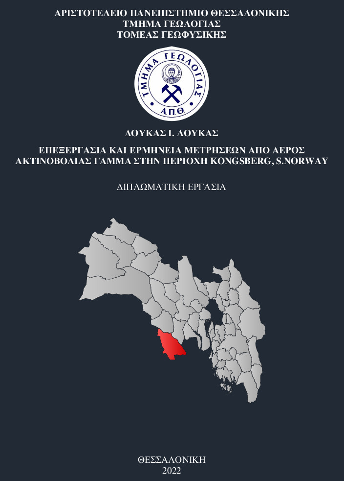
Επεξεργασία και ερμηνεία μετρήσεων από αέρος ακτινοβολίας γάμμα στην περιοχή του Kongsberg, S. Norway = Processing and interpretation of airbone gamma-ray data in the Kongsberg area, S. Norway.
Περίληψη
In 1896 Bequerel discovered the phenomenon of radioactivity, followed by the development of a new class of geophysical methods, radiometric methods. Historically, there has been a significant development in recording instruments, starting with first to third generation spectrometers. The spectrometers are transported by helicopters over the observation surface to record gamma radiation. The natural sources of radiation are the 3 radioisotopes: uranium (U), thorium (Th) and potassium (K), which are measured in windows, in ppm for the elements U and Th and % for the element K. The NGU carried out the 2008 a survey in the Kongsberg area based on magnetic, electromagnetic and radiometric measurements. At the beginning, the instruments were properly calibrated for the study area and after the measurements were taken, their processing began. The recordings were corrected by critical factors such as radon correction, compton removal, aircraft and cosmic background correction, live time correction, altitude correction and data conversion to standard temperature and pressure conditions. Then, with the use of appropriate programs, the radiometric maps are presented, properly geo-referenced so that there is the necessary accuracy of digitization of the recordings. Creating maps also includes ternary maps, viz mapping all three elements simultaneously (ternary maps). Thus, depending on the results of the method, we draw conclusions about the study area and its geology, while using it, structures of economic importance can be discovered.
Πλήρες Κείμενο:
PDFΑναφορές
A. J. PLATER, M. IVANOVICH R. E. DUGDALE ,. «Uranium series disequilibrium in river sediments and waters: the significance of anomalous activity ratios.» Great Britain, 1991-92, 101-110.
Abiodun Adebowale Ka Yode. «PETROGRAPHY AND GEOCHEMISTRY OF GRANITES IN THE KONGSBERG AREA, SOUTH NORWAY.» SOUTH NORWAY, 1974.
Alexandros Stampolidis & Frode Ofstad. Helicopter-borne magnetic and radiometric geophysical survey at Gratangen and Sørreisa,. Troms: NGU, 2015, 29.
B.L. Dickson & K.M. Scott. «Interpretation of aerial gamma-ray surveys-adding the geochemical factors .» Joomal of AusuaJian Geology & Grophysics, 1997.
B.R.S. Minty, A.P.l. Luyendyk & R.c. Brodie. Calibration and data processing for airborne gamma-ray spectrometry . Journal of Australian Geology & Geophysics, 1997.
Fei Li, Ziyun Cheng, Chengshuai Tian, Hongfei Xiao, Miao Zhang & Liangquan,. «Progress in recent airborne gamma ray spectrometry measurement technology.» Taylor & Francis, 25 05 2020: 34.
Geological Survey Ireland Report 2020. Tellus Interpretaon Guide to Airborne Geophysics Data. Geological Survey Ireland is a division of the Department of the Environment, Climate and Communicaons, 2020.
INTERNATIONAL ATOMIC ENERGY AGENCY. Airborne. TECHNICAL REPORTS SERIES No. 323, VIENNA: IAEA, 1991.
INTERNATIONAL ATOMIC ENERGY AGENCY. Guidelines for Radioelement Mapping Using Gamma Ray Spectrometry Data. Vienna: IAEA, 2003.
Kogan, Robert M., Igor M. Nazarov and Sh. D. Fridman. ,. «Gamma spectrometry of natural environments and formations : theory of the method applications to geology and geophysics.» 1971.
M.A. Smethurst, R.J. Watson,V.C. Baranwal,A.L. Rudjord ,I. Finne,. «The predictive power of airborne gamma ray survey data on the locations of domestic radon hazards in Norway: A strong case for utilizing airborne data in large-scale radon potential mapping.» Journal of Environmental Radioactivity, 04 April 2016: 1-20.
Mohamed A. S. Youssef and Shadia T. Elkhodary. «Utilization of airborne gamma ray spectrometric data for geological mapping, radioactive mineral exploration and environmental monitoring of southeastern Aswan city, South Eastern Desert, Egypt.» Geophysical Journal International, 12 October 2013: 1689–1700.
Nathalie Brande. The Famous Silver Mines of Kongsberg, Norway. 02 11 2019.
P. B. Grasty, R. L. and Blanchard, Y. B. and Holman,. Transportable calibration pads for ground and airborne gamma-ray spectrometers. Ottawa: Energy, Mines, and Resources Canada, 1991.
Reda A. Y. El Qassasa, M Salaheldin,S.M. Assran Assran,Th. Abdel Fattah, M.A. Rashed,. «Airborne gamma-ray spectrometric data interpretation on Wadi Queih and Wadi
Safaga area, Central Eastern Desert, Egypt.» NRIAG Journal of Astronomy and Geophysics, 13 March 2020: 155-167.
V. C. Baranwal and J. S. Rønning. «Airborne Geophysical Surveys and Their Integrated Interpretation.» Στο Springer Nature Switzerland AG 2020. Trondheim: Springer Geophysics, 2020.
Vikas Baranwal, Alexei Rodionov, Frode Ofstad. Helicopter-borne magnetic, electromagnetic and radiometric geophysical surveys in the Kongsberg region:. Buskerud, Telemark and Vestfold: NGU, 2013, 53.
Γεωλογικός χάρτης, Χάρτης ηλικιών, Χάρτης τεκτονικής τοποθέτησης, . Kongsberg, Norway, χ.χ.
ΟΡΓΑΝΟ Exploranium GR-820/3. χ.χ. http://projects.gtk.fi/export/sites/projects/aerogeo/equipment/mca.pdf.
ΟΡΓΑΝΟ GG24 Surveyor GPS+GLONASS. χ.χ. http://projects.gtk.fi/export/sites/projects/aerogeo/equipment/gg24.pdf.
ΟΡΓΑΝΟ RS-500. χ.χ. http://www.radiationsolutions.ca/wp-content/uploads/2020/08/RS-500_Brochure_Feb2020.pdf.
Τσελέντης, Άκης. Εφαρμοσμένη Γεωφυσική. Liberal Books, χ.χ.
(Τσελέντης 2013, 624)
(Βασίλης 1996, 328)
(https://en.wikipedia.org/wiki/Kongsberg#/media/File:NO_3006_Kongsberg.svg n.d.)
Εισερχόμενη Αναφορά
- Δεν υπάρχουν προς το παρόν εισερχόμενες αναφορές.
