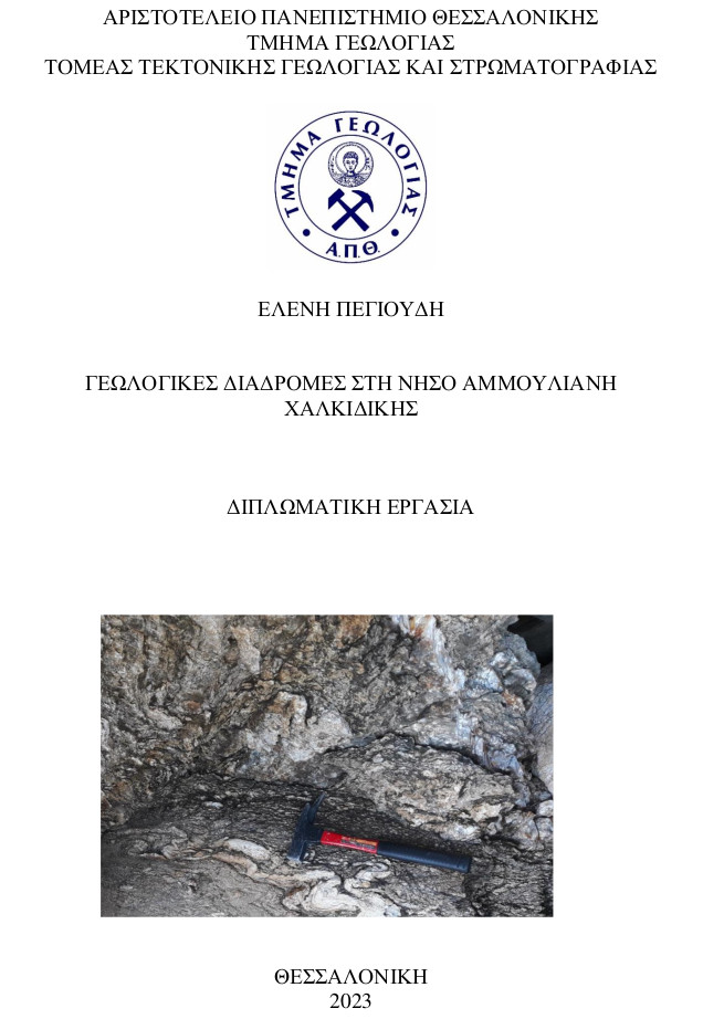
Γεωλογικές Διαδρομές στη Νήσο Αμμουλιανή Χαλκιδικής = Geological routes on Ammouliani Island.
Περίληψη
During our current time, sustainability is of the utmost importance. New methods of cultivating environmental awareness as well as motivation citizens to protect the environment are being sought. Geology is a complex discipline that can contribute to this field. Given the variety of geological phenomena that can be found in many regions of Greece, and the need for raw materials, as well as renewable energy sources, encouraging citizens to cultivate geological thinking can lead to growth in sustainable development. Furthermore, programs supported by UNESCO to record and highlight geosites, have created opportunities for the spread of geological knowledge and the protection of geological heritage. Within this context, an attempt to study Ammouliani Island was made, for the creation of georoutes, as it is of significant scientific interest. In this Bachelor Thesis, geological mapping of the island was carried out, based on previous geological studies, and mechanisms of faulting and folding were recorded. Finally, the places of high geological interest were selected and georoutes were created, which were recorded on the island’s geological map.
Πλήρες Κείμενο:
PDFΑναφορές
Abbo, A., Avigad, D., & Gerdes, A. (2019). Crustal evolution of peri-Gondwana crust into present day Europe: The Serbo-Macedonian and Rhodope massifs as a case study. Lithos, 356–357. https://doi.org/10.1016/j.lithos.2019.105295
Christofides, G., D’Amico, C., Moro, A., Eleftheriadis, G., & Kyriakopoulos, C. (1990). Rb/Sr geochronology and geochemical characters of the Sithonia plutonic complex (Greece). European Journal of Mineralogy, 2, 79–87.
Himmerkus F, Ander B, Reischmann T and Kostopoulos D (2007) Gondwana-derived terranes in the northern Hellenides. In 4-D Framework of Continental Crust (eds RD Hatcher, MP Carlson, JH McBride and JR Martinez Catalán), pp. 379–90. Geological Society of America, Memoirs no. 200.
Kockel F, Mollat H and Antoniadis P (1978) Geological Map of Greece, Ierissos Sheet. Scale 1:50.000. Athens: Institute of Geology and Mineral Exploration of Greece.
Neofotistos, P. G., Tranos, M. D., & Heilbronner, R. (2020). Geology and deformation of the Serbo-Macedonian massif in the northern part of the Athos Peninsula, Northern Greece: Insights from two detailed cross-sections. Bulletin of the Geological Society of Greece, 56(1), 167. https://doi.org/10.12681/bgsg.22529
Papadopoulos, V. C., & Kilias, A. (n.d.). Altersbeziehungen zwischen Metamorphose und Deformation im zentralen Teil des Serbomazedonischen Massivs (Vertiskos Gebirge, Nord-Griechenland). https://doi.org/https://doi.org/10.1007/BF01764571
Papapavlou, K. (2021). Zircon U–Pb–Hf snapshots on the crustal evolution of the Serbo-Macedonian massif: new insights from Ammouliani island (Northern Greece). Geological Magazine, 158(11), 2079–2086. https://doi.org/10.1017/S0016756821000698
Plougarlis, A. P., & Tranos, M. D. (2015). Geology of Ammouliani Island (Northern Greece) – implications for the tectono-magmatic evolution of the Serbo-Macedonian Massif. Journal of Maps, 11(4), 552–560. https://doi.org/10.1080/17445647.2014.948504
Tranos, M., Kilias, A., & Mountrakis, D. (1993). EMPLACEMENT AND DEFORMATION OF THE SITHONIA GRANITOID PLUTON (MACEDONIA, HELLAS). Bulletin of the Geological Society of Greece, 28, 195–210.
Vidal Romaní, J. R. (2008). Forms and structural fabric in granite rocks. Cadernos Do Laboratorio Xeoloxico de Laxe, 33.
Wet, A. P., Miller, J. A., Bickle, M., & Chapman, H. (1989). Geology and geochronology of the Arnea, Sithonia and Ouranopolis intrusions, Chalkidiki Peninsula, northern Greece. Tectonophysics, 161, 65–79. https://doi.org/10.1016/0040-1951(89)90303-X
ΘΕΟΔΟΣΙΟΥ-ΔΡΑΝΔΑΚΗ, E., ΠΑΠΑΔΟΠΟΥΛΟΥ-ΒΡΥΝΙΩΤΗ, Κ., & ΜΑΡΚΟΠΟΥΛΟΥ-ΔΙΑΚΑΝΤΩΝΗ, Α. (2018). Framework for the geosites selection according to the International Union of Geological Sciences (IUGS), and the European Association for the Conservation of Geological - Geomorphological heritage (ProGEO). 2nd phase: opening of a discussion in the country, publishing and more or less finalizing the country framework. Bulletin of the Geological Society of Greece, 34(2), 803–810. https://doi.org/10.12681/bgsg.17703
Κίλιας Α. (2009). Εισαγωγή στην Τεκτονική Γεωλογία. Εκδόσεις Όλυμπος. Σελ. 7-13. Θεσσαλονίκη
Μουντράκης Δ. Μ. (2020). Γεωλογία και γεωτεκτονική εξέλιξη της Ελλάδας. University Studio Press, σελ. 49-59. Θεσσαλονίκη
Παζάρας, Γ. (2016). Πετρογραφική μελέτη μεταπηλίτη απο τη νήσο Αμμουλιανή, Ν. Χαλκιδικής = Petrographic Study of metapelite from the Island Ammouliani, S. Chalkidiki. Προ/Μεταπτυχιακές Διατριβές Στη Βιβλιοθήκη Θεόφραστος Του Τμήματος Γεωλογίας Του Α.Π.Θ., 0(0). http://geolib.geo.auth.gr/digeo/index.php/grelit/article/view/11270
Παπαθανασόγλου Αντωνίνα. (2017). Θεσμικό Πλαίσιο Προστασίας Γεωτόπων, Περιβάλλον και Δίκαιο, Τεύχος 4. http://www.nb.org
Χατζηπέτρος Α. Σημειώσεις Τεκτονικής Γεωλογίας
Συριανός Μάρκος. (2005). Αγώνες και Αγωνίες για την Υδροδότηση της Αμμουλιανής: Η Οδύσσεια ενός Προέδρου. Εκδόσεις Ζήτη. Θεσσαλονίκη
Διαδικτυακές Πηγές
Ελληνική Στατιστική Αρχή (ΕΛ.ΣΤΑΤ.) Πληθυσμιακά στοιχεία από: https://www.statistics.gr/
The Greek Database of Seismogenic Sources (Gre.Da.S.S.) για στοιχεία ρηγμάτων της ευρύτερης περιοχής (Υπεύθυνοι Προγράμματος: R. Caputo & S. Pavlides):
http://gredass.unife.it/
Shapefile ακτογραμμών για τη δημιουργία DEM στο Global Mapper: http://geodata.gov.gr/maps/?package=d59c2895-49c0-416f-a77e-122459cc8cac&resource=eb718a13-6e4a-45d6-9f9d-b3439d92a668&locale=en
Χάρτες και άλλες ψηφιακές πηγές:
Γεωγραφική Υπηρεσία Στρατού (Χαρτογράφος). (1970). Φύλλο Ιερισσού (Τοπογραφικός Χάρτης). 1:50.000 Γεωγραφική Υπηρεσία Στρατού.
Εισερχόμενη Αναφορά
- Δεν υπάρχουν προς το παρόν εισερχόμενες αναφορές.
