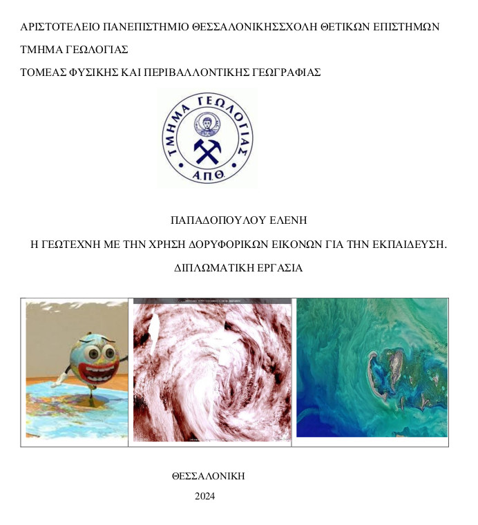
Η γεωτεχνη με την χρήση δορυφορικών εικόνων για την εκπαίδευση.
Περίληψη
The purpose of the thesis titled “satellite imagery geoart for education” is to highlight alternative teaching and learning approaches in primary and secondary education through the use of satellite images and geoart. initially, the term "geoart" is discussed along with various related satellite image processing software (leoworks, eo browser). subsequently, the eo browser application is used, which allows students to access satellite data, enabling them to search and explore various regions. then, the methodology and the results of an indicative application in two thematic areas are presented. specifically, images were created through the eo browser related to iceberg activity and floods. in this way, the geography lesson can become more interesting, helping students to better understand issues of climate change and natural disasters.
Πλήρες Κείμενο:
PDFΑναφορές
Mouratidis A., Stewart C., Ackerman N., Sarti F., Serban, F., Lichtenegger J. and Brøgger Sørensen P. (2015a). LEOWorks 4: The new ESA open-source
image processing and GIS software for Education and training, Proceedings of the 10th International Congress of the Hellenic Geographical Society, 22-24
October 2014, Thessaloniki, Greece, pp. 1619-1624.
Mouratidis A., Stewart C., Ackerman N., Sarti F., Talevi, M., Lichtenegger J. and Brøgger Sørensen P. (2015b). The new version of ESA Eduspace website: A multi-lingual Earth Observation resource for secondary and tertiary education, Proceedings of the 10th International Congress of the Hellenic Geographical Society, 22-24 October 2014, Thessaloniki, Greece, pp. 1612-1618.
Πηγές από το διαδίκτυο
• Sentinel Hub EO Browser (sentinel-hub.com) Land art - Wikipedia
• LEOWorks
• ESA - A-76: The world's largest iceberg
• ESA - A-68A iceberg breaks off
• Land Art | Εθνικές Πινακοθήκες της Σκωτίας (www-nationalgalleries- org.translate.goog)
• https://www.eo4edu.eu/
Εισερχόμενη Αναφορά
- Δεν υπάρχουν προς το παρόν εισερχόμενες αναφορές.
